About us
GeoInsights Lab focuses on delivering innovative geospatial solutions through remote sensing and GIS technologies. It serves diverse sectors including forestry, hydrology, agriculture, climate, and infrastructure by offering services like landscape mapping and monitoring, real-time analysis of forest health and water resources, and precision agriculture. The lab specializes in strategic planning and predictive modeling, supporting data-driven decision-making for sustainable development and disaster resilience. Through advanced data analytics, 3D visualization, and the development of digital platforms, GeoInsights Lab addresses environmental challenges while empowering stakeholders through capacity- building initiatives.
Team

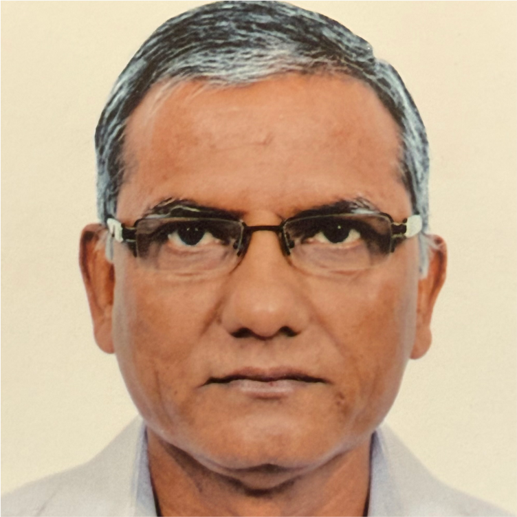
Dr. PS Roy
Advisor
Former Director,
Indian Institute of Remote Sensing,
ISRO.
Dr. P.S. Roy is an eminent expert in Earth Observation and Spatial Ecology, renowned for advancing the use of remote sensing and GIS technologies to monitor natural resources. With over 43 years of experience, including 35 years at ISRO, Dr. Roy led groundbreaking projects such as India’s first forest cover mapping, the National Natural Resource Census, and the development of geospatial tools for decentralized planning. His international work includes significant projects in forest canopy density and global vegetation mapping, underscoring his enduring contributions to geospatial science.

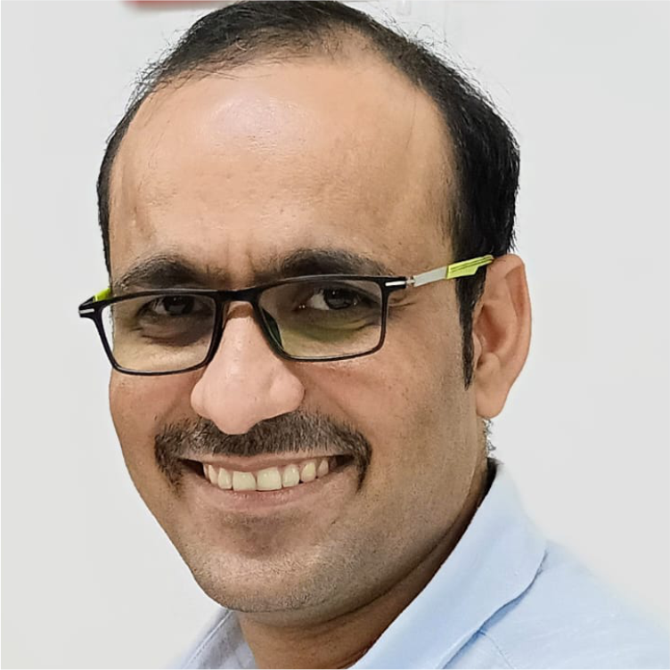
Amit Daiman
Chief Scientific Officer
Remote Sensing, GIS, and Hydroinformatics Expert
Amit Daiman is an accomplished geoscientist with over a decade of experience transforming satellite data into actionable insights in sectors such as water science, agriculture, forestry, and climate studies. Holding three advanced degrees, including an MS from IHE Delft, Netherlands, Amit has collaborated with leading global organizations such as ISRO, RSAC, FSI, IUCN, UNDP, and GIZ. His numerous accolades, including the Young Scientist Award (2019), underscore his commitment to leveraging geospatial science for sustainable practices and community empowerment.

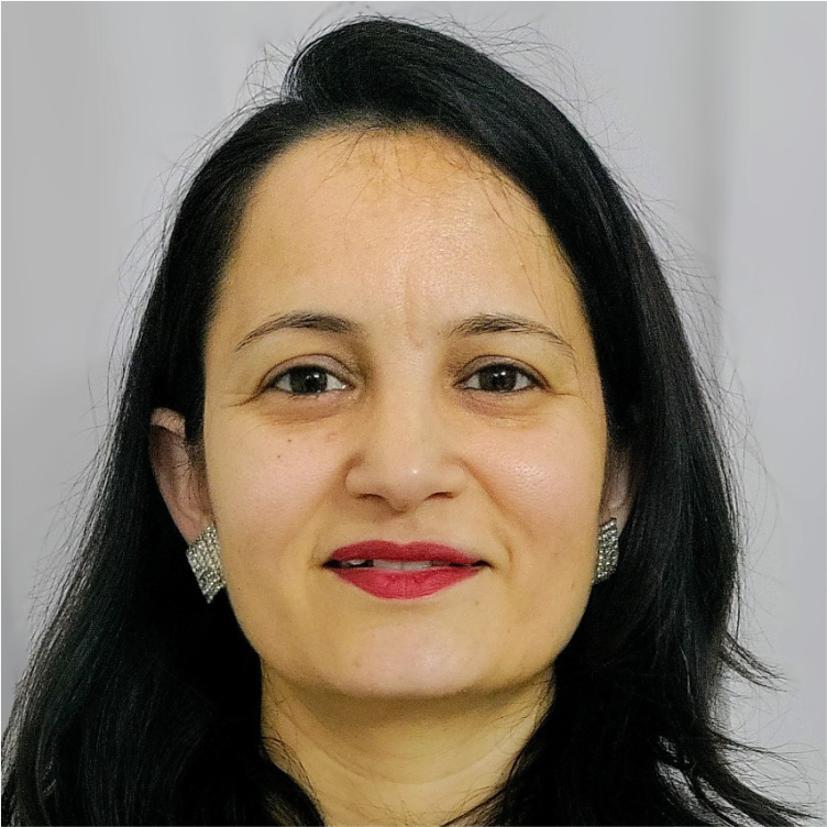
Dr. Isha Rana
Managing Consultant
NRM, Monitoring &
Evaluation Specialist
Dr. Isha Rana is a distinguished expert in forestry with over 15 years of experience, specializing in silviculture and natural resource management. Her expertise spans biodiversity assessments, carbon estimation, and climate change mitigation, with a focus on sustainable development and rural livelihoods. Dr. Rana has collaborated with global organizations like the World Bank and UNDP to promote climate resilience and sustainable forestry, developing climate-smart agriculture modules and training forest officials.

Services
Mapping and Monitoring
We provide high-resolution geospatial mapping and real-time monitoring of forests, water resources, and land use using satellite imagery and drones.
Strategic Planning
We provide high-resolution geospatial mapping and real-time monitoring of forests, water resources, and land use using satellite imagery and drones.
Data Analytics, Visualization, and 3D Modeling
We offer advanced data analysis, 3D modeling, and visualization tools for enhanced decision-making in environmental and urban planning.
Precision and Climate-Resilient Agriculture
Using satellite imagery and GIS, we improve crop monitoring, optimize resource use, and support climate-resilient farming.
Climate Change, Risk, and Vulnerability
We assess climate risks and develop vulnerability maps to aid in adaptation and disaster preparedness strategies.
Predictive Modeling and Simulation
We build predictive models to simulate environmental changes, support decision-making, and prepare for future scenarios.
Development of Digital Platforms
Our team creates dynamic dashboards and GIS-based digital platforms for real-time data access, monitoring, and collaboration.
Capacity Building
We offer training programs to empower communities and professionals with skills in GIS, remote sensing, and data analytics for sustainable development.
Sectors
Agriculture
GeoInsights Lab will use satellite imagery, drones, and GIS to enhance precision agriculture,
improving crop monitoring, predicting yields, and analyzing soil health. This will support
farmers in making climate-resilient decisions to boost productivity and sustainability.
Hydrology
The lab will manage water resources by developing flood models, computational hydrological and hydrodynamic model, early warning systems, and watershed analysis tools. Continuous water quality monitoring and river basin modeling will ensure sustainable water management.
Climate
GeoInsights Lab will focus on climate risk assessment, vulnerability mapping, and carbon sequestration using remote sensing. It will offer tools for predictive climate modeling, helping communities and governments adapt to and mitigate climate impacts.
Forestry
By using satellite data, the lab will create forest cover maps, track deforestation, and support
reforestation efforts. It will assess biodiversity and biomass, promoting sustainable forest
management and conservation.
Natural Resources
The lab will monitor land degradation, soil erosion, and resource depletion through GIS and remote sensing, ensuring the sustainable use of natural resources and supporting conservation strategies.
Infrastructure
GeoInsights will contribute to urban planning, transportation planning and smart city development by mapping infrastructure and integrating climate resilience into large-scale projects, supporting sustainable and efficient infrastructure development.
Digi-Tech
The lab will utilize IoT, AI, and GIS to create digital platforms for real-time monitoring, decision-making tools, and data visualization, driving innovation in resource management, disaster response, and land digitization.
Selected Projects
Mission Amrit Sarovar: Rejuvenating Water Bodies for Rural Water Security
GIZ
Mission Amrit Sarovar was launched to rejuvenate water bodies across rural India, aiming to construct or revive 75 Amrit Sarovars (ponds) per district. Through a “Whole of Government Approach” and leveraging ongoing schemes, over 68,000 Amrit Sarovars were completed. IDCG is conducting an impact assessment to evaluate the mission’s environmental, socio-economic, and sustainability impacts across selected states.
Independent Impact Evaluation of Ecosystem Services Improvement Project
World Bank, Indian Council of Forestry Research and Education (ICFRE)
This project focused on evaluating the impact of the Ecosystem Services Improvement Project (ESIP) in alignment with the Green India Mission’s goals. The evaluation assessed forest quality, sustainable land management, and livelihood improvements in selected landscapes of Chhattisgarh and Madhya Pradesh. The evaluation also examined the project’s effectiveness in enhancing forest-dependent communities’ livelihoods and the scalability of ESIP’s innovative approaches within the Green India Mission framework.
Spatial Assessment for Landscape Restoration under RECAP4NDC in Maharashtra
GIZ
A rapid spatial assessment using remote sensing and GIS was conducted to identify degraded landscapes in 10 districts of Maharashtra for forest landscape restoration (FLR). Through stakeholder consultations and the project’s evaluation matrix, priority landscapes were selected, balancing ecological, socio-political, and development factors. The final output included detailed maps and GIS files, enabling targeted interventions for achieving India’s Nationally Determined Contributions (NDCs) and improving ecosystem services for millions.
